Backroad GPS Maps - British Columbia (V8)
Unfortunately, Backroad GPS Maps - British Columbia (V8) is only available to be shipped to customers in Canada. Sorry about that eh!
Please contact us and we will find a suitable substitute that we can ship to you.
Delivery and Shipping
Delivery and Shipping
We're committed to getting your gear to you as quickly and safely as possible and do our best to ship all in-stock items within 2 business days of the order date.
Please review our full Shipping Policy for more details.
Please note, many of the high-quality, specialty products we sell are built-to-order by the manufacturer, meaning there is an additional wait time before the item is even shipped to us or directly to you.
For a list of current lead times by manufacturer, please visit our Manufacturer Lead Times page.

Description
Description
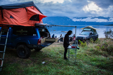
From Haida Gwaii, where the wilderness rules and a strong First Nations culture maintains an unbreakable bond with nature, to the peaks of the Rocky Mountains, world-famous for their majestic stature, BC is a land of extreme beauty. In the western part of the province, the Coast Mountains rise right out of the ocean, creating a contrast unlike any other, while moving inland brings you to the sweeping Chilcotin steppe, giving way to the vast and powerful backcountry of the north. To the south, the Okanagan is known for its mild weather and desert-like landscape, while further east the Kootenays are home to one of the country’s most vibrant adventure cultures. No matter which corner of the province you are exploring, BC is as exciting a destination as you can find anywhere in the world.
British Columbia Backroad GPS at a Glance:
- Combining day-to-day navigation with enhanced outdoor recreation information, this product combines all of BC into one Backroad GPS Map, including our Vancouver Island, Vancouver, Coast and Mountains, Cariboo Chilcotin Coast, Northern BC, Okanagan and Kootenay Rockies Backroad Mapbook titles.
- Close to 685,000 km of our backroads network combined into one map, including close to 175,000 km of routable roads.
- Lake Bathymetry depth contour for 1,800+ fishing lakes, rivers, and streams in BC.
- Clearly marked private leased land for anglers and hunters.
- Searchable Oil and Gas LSD Grid Locations, Compressor Stations, Gas Plants, Wellsites and other resource facilities
- Marked Wildlife Management Units (WMUs) for hunters.
- Tens of thousands of kilometres of ATV Trails, snowmobile routes, multi-use hiking, biking and cross-country skiing trails and paddling routes, with marked trailheads and access points/portages.
- Tens of thousands of fishing hotspots, parks and conservation areas, campsites, hunting areas, winter recreation areas and more.
- Over 60,000 land and water geographic features.
Payment & Security
Payment methods
Your payment information is processed securely. We do not store credit card details nor have access to your credit card information.